Landcover Change
Peer-Reviewed Publications
Humans having been changing the surface of our planet for millennia, however the pace is rapidly increasing. Habitat loss due to land-cover change is the main threat to 85% of IUCN Red List species. Additionally, land-cover change has drastic effects on global carbon and water cycles, among countless other ecosystem services. Understanding where, how, and why humans change the surface of the planet is essential to predicting and mitigating the worst impacts.
-
Agricultural land conversion is a major driver of global environmental degradation, contributing to habitat loss for threatened species and climate change when carbon-rich native vegetation is replaced with crops. Conversely, agricultural production remains a necessary land use to ensure food security, support regional employment, and generate foreign income. Hence, conservation interventions and nature-based solutions must compete with—and be balanced against—agricultural production, with careful consideration of the opportunity costs associated with provisioning land from agriculture to environmentally-focused purposes. Information on agricultural land value and opportunity costs are therefore important factors in land use planning, but such data is often limited. We developed a model of farmland value for Australia using socioeconomic and biophysical data and three years of farm sales records across 316 local government areas (LGAs). We then examined the relationships between farmland value alongside conservation values represented by threatened species habitat and carbon storage potential. Farmland value was primarily driven by population density, soil attributes, and rainfall amount, along with travel time to nearest city and forest productivity. Our modelled farmland value layers were strongly correlated with both threatened species richness and maximum woody biomass. Threatened species with higher mean farmland values also had lower mean habitat condition. These results demonstrate that areas in Australia with high importance for conservation and climate mitigation have higher economic and opportunity costs. Therefore, conservation interventions cannot simply focus on low-cost lands, and biodiversity and carbon financing schemes (such as carbon credits) must be sufficiently high to counter economic disincentives.
-
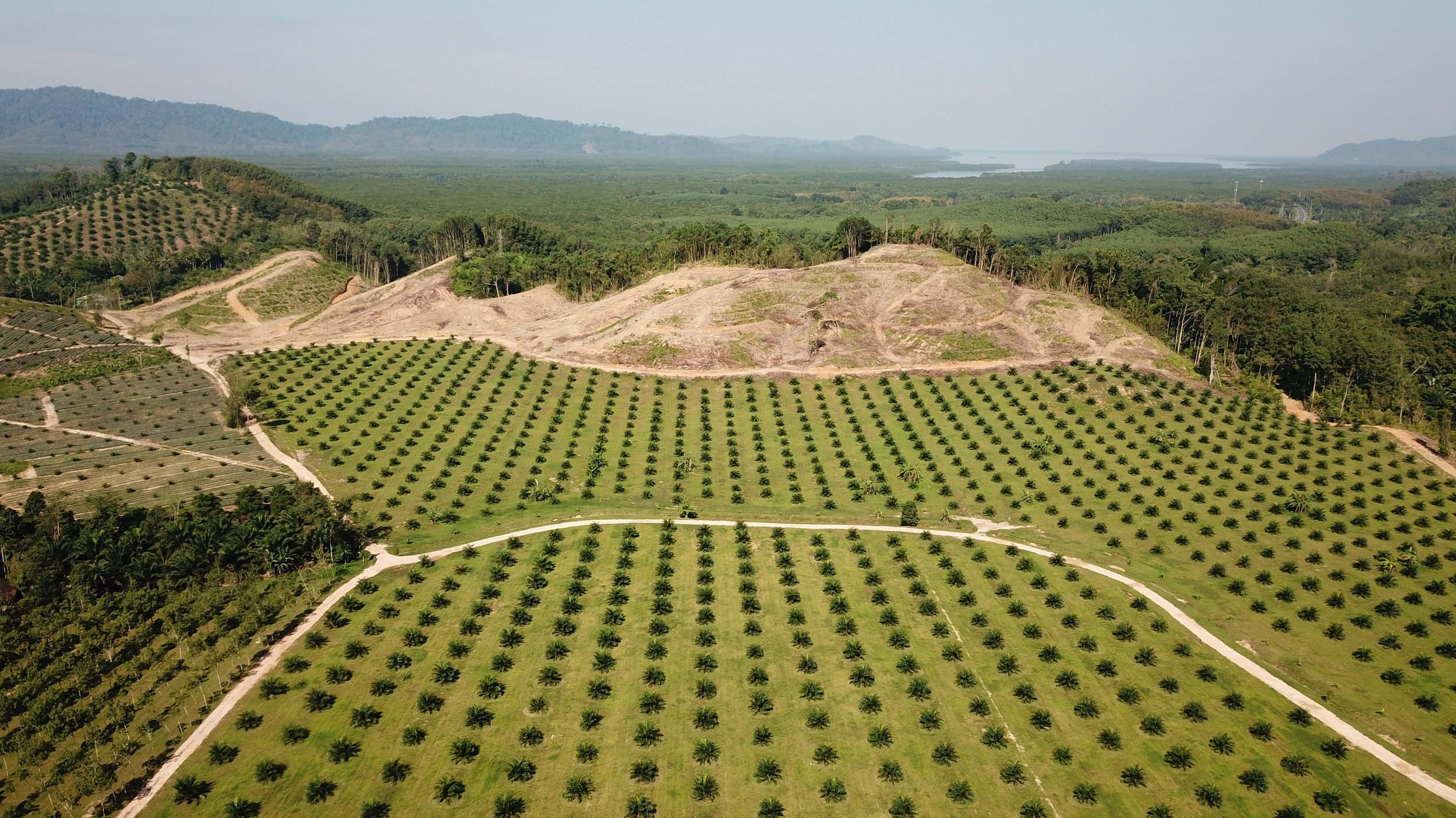
Australia is a global leader in land clearing and biodiversity loss. The overwhelming majority of land clearing within Australia and, globally, is driven by agricultural conversion. The importance of agricultural lands also leads to the concentration of habitat protection in landscapes that do not support productive land uses, which might contribute to species conservation in marginal habitat. Using an integrated agricultural capability map and threatened vertebrate fauna range maps, we show that observed biases in protected area location have varied impacts at the species level. Specifically, threatened vertebrate fauna with habitat capable of supporting high-value productive lands received less protection and experienced greater habitat loss. Similarly, almost all species assessed received protection in the portions of their ranges less conducive to productive land uses. Finally, we identify regions of Australia at risk of future land clearing and the species likely to bear the brunt of the impacts. Our results demonstrate the importance of protecting land capable of supporting productive uses to conserve the most affected threatened species.
-
Land clearing and protected area provision are two contrasting forces shaping the persistence of species in the landscape. Using Australia's flora as a case study, we characterize the three possible states of species persistence: protected, cleared, or at risk of future loss based on agricultural capability, using a comprehensive suite of plant distributions and traits. We test the assumption that plant species, assemblages, and growth forms are adequately preserved in protected areas in Australia, and contrast this result with historic and future loss driven by trajectories of continued land clearing. We find levels of protection and clearing are inversely related, with both bioregions and species with high levels of clearing having low protection. We find only one third of Australian bioregions meet international protection targets of 30 % of area in formal protection. Similarly, we find that 29 % of plant species have met representation protection targets (with 30 % of their range protected), while similar numbers (33 %) have clearing as the dominant land use across their ranges. Protection and clearing have also unevenly affected species with different growth forms, range sizes, and distributions across agricultural land capability. Narrow-ranged woody species (e.g., trees) are the most at-risk group in relation to clearing, whereas large-ranged non-woody species (e.g., graminoids, herbs) are afforded a high level of protection in reserved lands. We demonstrate that the Australian protected-area network, although theoretically underpinned by sound CAR principles (comprehensive, adequacy, representativeness), falls short in protecting both individual plant species and growth forms.
-
Ongoing land clearing is a key driver of biodiversity loss and climate change. Effective action to halt land clearing and land degradation ultimately relies on understanding patterns of land capability for production uses, in particular agriculture, as a key driver of land use. Here we describe a national agricultural land capability map for Australia, based on harmonized state agricultural land capability datasets and modelled pastoral capability. State-level agricultural land capability datasets capture regional variations in crop selection and suitability. Hence, we reclassified these datasets to fit a nationally consistent land capability ranking scheme. For regions in which agricultural capability data was not available, we modelled agricultural and pastoral capability and mapped this to the same ranking scheme. The national land capability dataset fills an immediate knowledge need for Australia. This dataset has wide potential for utilization, such as for retrospective analysis of land use policies and prospective regional planning initiatives to ensure forward looking policies and land use plans optimize land allocation.
-
One of the most important demographic events of the past half-century is the dramatic growth of urban areas worldwide. Growing cities, like insatiable amoebas, tend to engulf and devour their surrounding lands, often at the expense of biodiversity (Fig. 1). In PNAS, Simkin et al. (1) project the regional and global impacts of urban expansion on more than 30,000 species of native mammals, birds, reptiles, and amphibians from 2015 to 2050. Their findings reveal that burgeoning cities are a far more serious driver of biodiversity decline than many realize, with environmental impacts comparable with those of planet-altering activities, such as agriculture and forestry.